
This map accompanied my article “China’s India Example” published in The Statesman on March 25 2008. The map is dated c. 1900 and shows the Chinese Empire of China Proper, East Turkestan (Sinkiang, Xinjiang), Tibet, Manchuria and Mongolia (later Inner Mongolia and Outer Mongolia).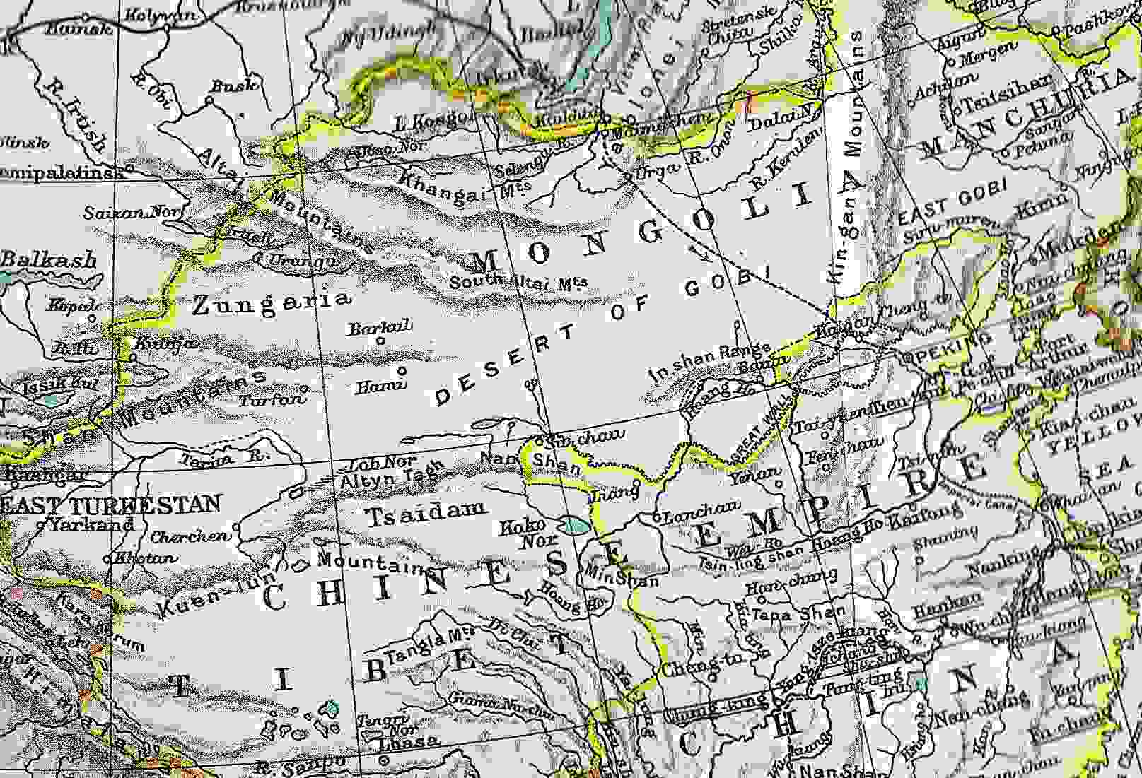
Map of Chinese Empire c. 1900
March 25, 2008 — drsubrotoroyChina’s India Example: Tibet, Xinjiang May Not Be Assimilated Like Inner Mongolia, Manchuria (2008)
March 25, 2008 — drsubrotoroyNote: My articles on related subjects recently published in The Statesman include “Understanding China”, “China’s India Aggression”, “China’s Commonwealth”, “Nixon & Mao vs India”, “Lessons from the 1962 War”, “China’s force & diplomacy” etc https://independentindian.com/2009/09/19/my-ten-articles-on-china-tibet-xinjiang-taiwan-in-relation-to-india/
China’s India Example: Tibet, Xinjiang May Not Be Assimilated Like Inner Mongolia And Manchuria
by
Subroto Roy
First published in The Statesman, Editorial Page Special Article March 25, 2008

