
Economist


This was the most magnificent glacier-fed lake I had seen or have ever seen. It must have been at about 12,000 feet perhaps. The water was perfect. There are piles of prayer-stones on the side placed by passing Tibetans.
On the extreme left is Khaitan, and I am the first to his right.
(Within minutes of my posting this, a friend familiar with mountains identified this as Dudh Pokhri Lake at 15,000 ft and that the peak seen from the lakeside is Kothang. I was informed that a young man named S. Sinha of the Univ of North Carolina Computer Science Department has a lot of fine photos taken in 2004-2005 of the same region and route we had taken as schoolboys 37 years ago.)

Kanchenjunga’s range seen quite close through the most magnificent valley of wild rhododendrons. I am in the middle. Bajoria on my right, Rao on my left. Bajoria was rumoured to have died in a swimming accident in Bombay some years later. See too https://twitter.com/subyroy/status/849498359102660608?s=20

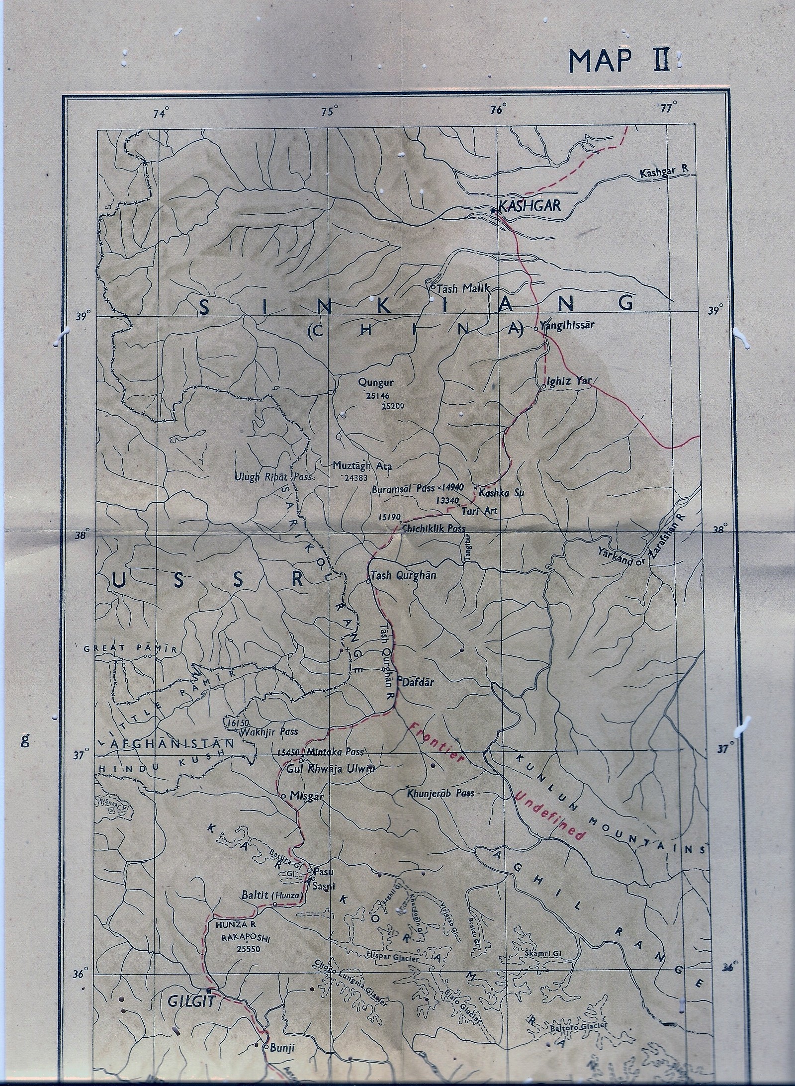
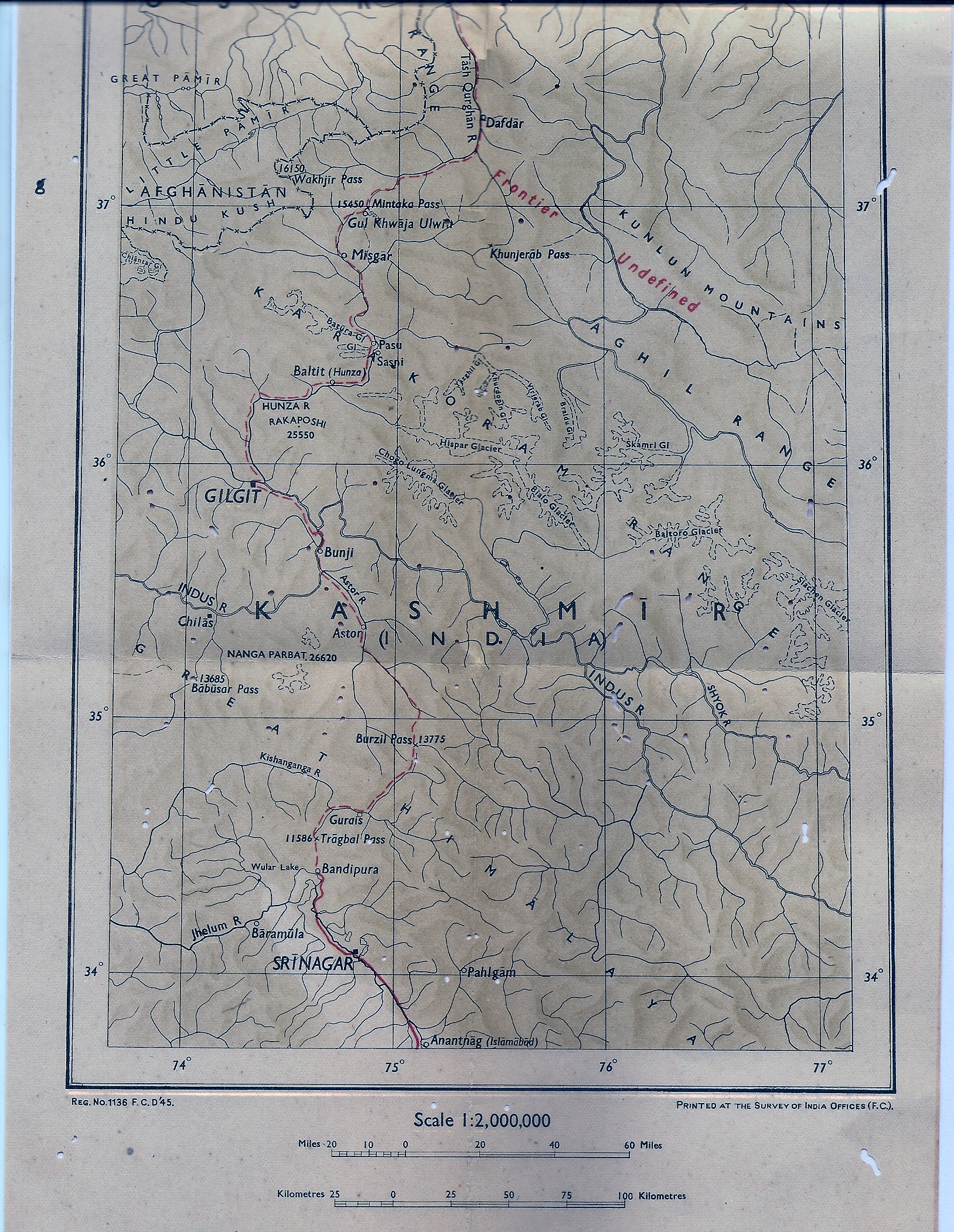
Our destination on a 12? 15? day trek was the Himalayan Mountaineering Institute’s Kanchenjunga Base Camp c. 15,000 ft. We ate but though exhausted we did not stay the night because of bad weather being predicted. The Rector of St Paul’s School, Darjeeling, David Stormont Gibbs, MA (Cantab.) led the expedition; he is in the middle with the orange sweater, smiling when all of us are looking on the point of collapse. To his right is David Howard, an excellent geography teacher and dramatist who became our House Master and later Rector. Gibbs must have been in his late 40s, Howard in his 20s. I am to the right of Howard with a flat square empty water bottle on my chest. Also to be seen are Rao, Palit, Bajoria, Tandon, sherpas running the Camp in orange jackets.

![]()
The search engine above should locate any article by its title; the Index and Archives may be used as well.
Readers are welcome to quote from my work under the normal “fair use” rule, but please try to quote me by name and indicate the place of original publication in case of work being republished here. I am at Twitter @subyroy, see my latest tweets above
| S | M | T | W | T | F | S |
|---|---|---|---|---|---|---|
| 1 | 2 | 3 | 4 | |||
| 5 | 6 | 7 | 8 | 9 | 10 | 11 |
| 12 | 13 | 14 | 15 | 16 | 17 | 18 |
| 19 | 20 | 21 | 22 | 23 | 24 | 25 |
| 26 | 27 | 28 | 29 | 30 | 31 | |
